
|
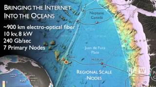
This is the first time a high-definition camera has been placed on the ocean floor that is capable of delivering the video signal in an uncompressed format over an Internet-style 10 GB/second fiber optic network. The hardware did not exist until now. |
 Read Transcript
|
Overview |
||
|
The University of Washington's Cabled Array of the NSF OOI extends continuous high-bandwidth communications (tens of Gigabits/second) and power (tens of kilowatts) to a network of instruments widely distributed across, above, and below the seafloor in the northeast Pacific Ocean. As the world's first ocean observatory to span a tectonic plate, this facility provides a constant stream of data in real time from the ocean, on the seafloor, and below the seafloor within the Juan de Fuca plate. The oceans of Earth are crucial to the quality of life on land. Yet they are mysterious, dangerous, and unexplored. The mission of the NSF Ocean Observatories Initiative is to launch a new era of human discovery within the world's oceans through electrical power and high speed internet connectivity in large portions of the global ocean. Land-based scientists, engineers, educators, and the public can interact remotely with ocean events as if they were actually in the ocean environment — events such as erupting volcanoes, migrating fish, major earthquakes and storms, powerful currents, blooms of microscopic life, and subtle climatic variability. |
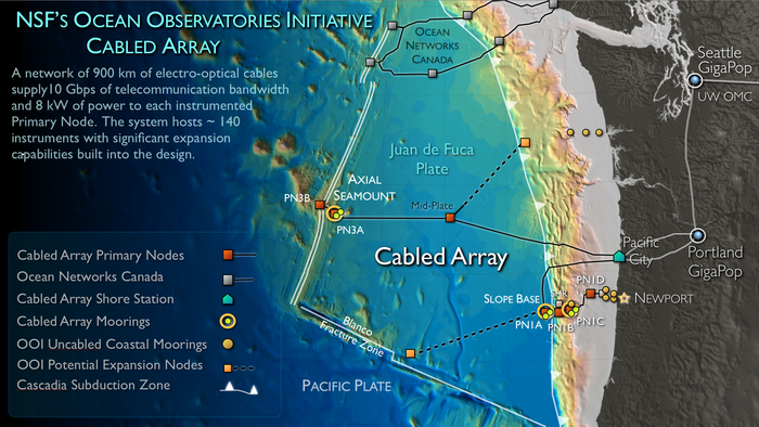
Location of high power and bandwidth moorings with profiling capabilities on the Cabled Array. One mooring will be placed at the base of Axial Seamount, providing measurements key to examining flow over rough topography, El Niño and La Niña events, and the Pacific Decadal Oscillation. A second mooring will be located at the base of the accretionary margin outboard from Hydrate Ridge. This mooring forms an array with three surface and three subsurface (two of which are cabled to the network) moorings that are part of the Coastal Scale Endurance Array. |
|
Links |
|||
|

|
R/V Thomas G. Thompson |
R/V Sikuliaq |
|
Visions '13, 28 June–22 August 2013 |
Visions '16, 8 July–15 August 2016 |
|
R/V Roger Revelle |
R/V Atlantis |
|
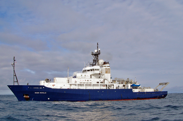
Visions '17, 24 July–26 August 2017 |
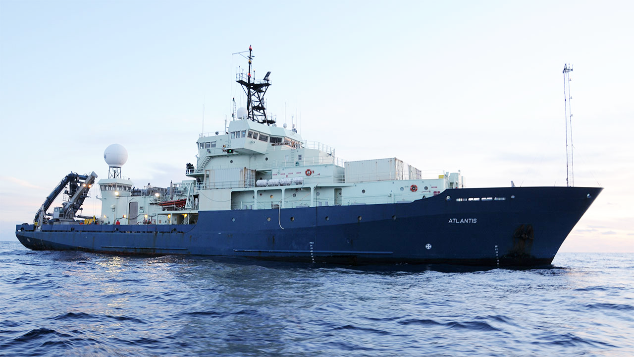
Visions '19, 2 June–12 July 2019 |
|
Mission |
||
|
Careful surveys of the scientific areas of interest and cable route planning in 2010 and 2011 by the UW Team (School of Oceanography and APL-UW) were a first step in the successful installation. The UW team developed the concept and managed the contractor L-3 MariPro to design, build, and install the primary system: 900 km of telecommunication cables and seven primary nodes. All primary nodes were placed in safe locations, with distribution of power and communications to instrumentation left to the UW team. EPS engineers simultaneously began designing and building the secondary infrastructure consisting of junction boxes that provide 130 instruments with power and communications connections. During the summer seasons of 2013 (52 days at sea) and 2014 (82 days at sea), over 22 km of secondary cable were laid, the 17 junction boxes and six moorings with 130 instruments were installed and connected to the primary system. By early 2015, APL-UW had real-time, two-way communications with instruments placed across the Juan de Fuca plate in the northeast Pacific Ocean. The goals of VISIONS ’15 and VISIONS ’16 were to provide maintenance to this cabled infrastructure. The tasks included the planned recovery and reinstallation of a number of the instruments and all profilers. This video from the 30-day cruise highlights many of the complicated ship and ROV operations required to work with equipment on a cabled array. 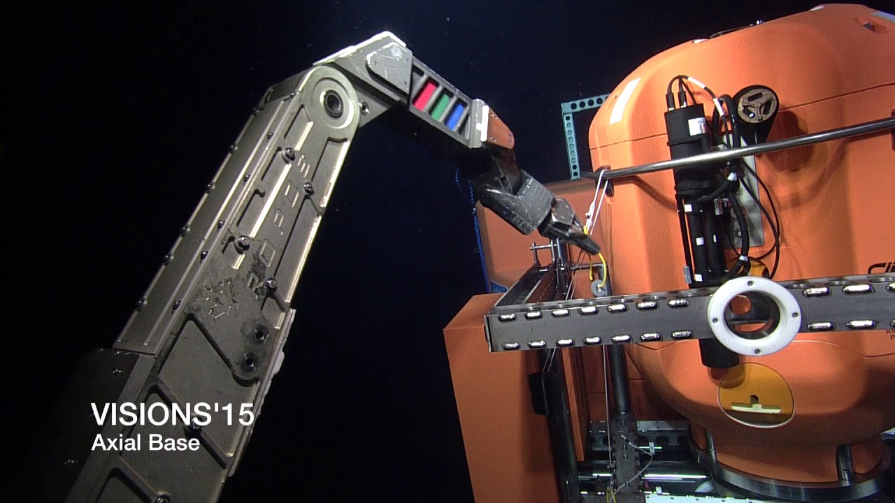

APL-UW uses remotely operated vehicles (ROVs) to install and service instruments on the seafloor, as well as profilers. ROVs are essential because they can reach depths that divers cannot, as well as easily lift the 1500–3500-lb. packages. APL-UW has deployed over 100 instruments on the seafloor and in the water column. 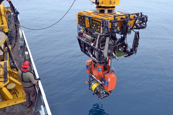
ROV ROPOS descends into the water to install a shallow profiler
Shallow profilers are located at three different locations; all are supported by two-legged, subsurface platforms. These cabled vehicles host a variety of instruments and measure water column properties in fixed geographical locations for a long period of time. The Shallow Profilers move vertically to just below the ocean’s surface to collect oceanic data within the water column. The data collected includes chemical, physical, and biological properties within the ocean. Each shallow profiler is paired with a deep profiler. This wire-crawling instrument is based on the McLane moored profiler, but is heavily modified by APL-UW engineers to equip it with advanced capabilities. It now has an innovative inductive coupling system, extended deep-sea range, and an expanded instrument payload. The deep profiler starts at the seafloor (as deep as 2900 m in one location) and then travels to just below the surface. While traveling (about 25 cm/s), the sensors measure oceanographic properties and collect data going both directions, allowing periodical subsets of data to be sent through a Wi-Fi communication link to the shore base in Oregon. Directly below the deep profiler is a docking-station on the seafloor. Once a week, the deep profiler docks itself at the seafloor station, recharges its batteries, and downloads the full set of scientific data collected over that period. The OOI system was designed to answer a set of major science questions, developed with the input of over 300 scientists. Each segment of the OOI addresses a subset of the questions. The Cabled Array addresses questions invoking the use of seismometers, mass spectrometers, geodetic measurements, and a unique set of instruments that only operate in the hydrothermal vents of undersea volcanos. The Cabled Array is also unique as the only segment offering 24/7 streamed data from nearly all sensors. The oceanic data gathered are sent through a variety of telecom, sub-sea cables, which are made from fiber-optics and copper. The cables, laid out on the seafloor by cable ships and ROV, provide a two-way communication system between the nodes and the shore station in Pacific City, Oregon. From there, the data stream is transmitted to the University of Washington and onward to users worldwide. Cables are joined to instruments by wet- and dry-mate connectors, allowing live data to travel through the cables to the shore station. Because wet-mate connectors are uniquely designed to couple cables and structures under water, they are the most commonly used during cruises and ROB operations. They also prevent salt water from entering the cables, which helps avoid early corrosion and reinstallation. Dry-mMate connectors must be assembled above water. 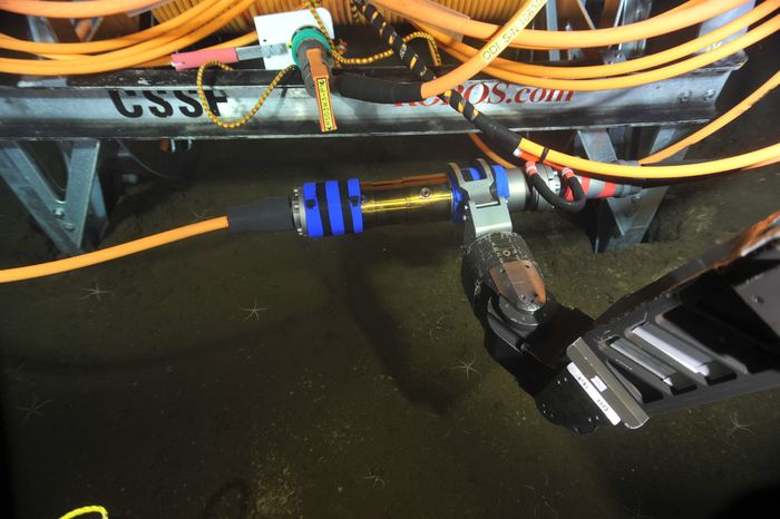
Wet-mate connection With new, innovative installations of instruments every year in the northeast Pacific Ocean, APL-UW will continue to help resolve our ocean’s mysteries. With each future cruise, we strive to look deeper into the ocean’s currents, active earthquake zones, sites of new seafloor creation, and the rich environment of marine plants and animals. |
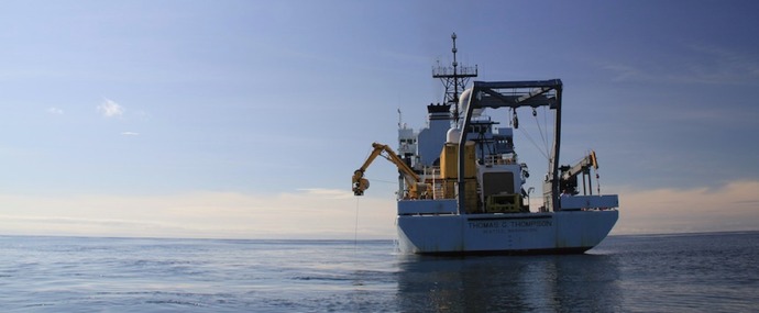
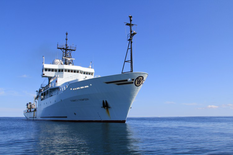
R/V Thomas G. Thompson on a VISIONS cruise 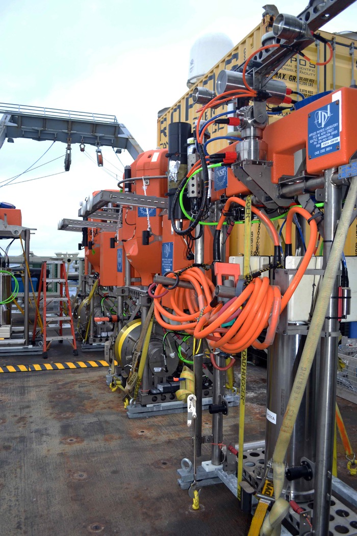
Profilers on deck of the R/V Thompson awaiting deployment 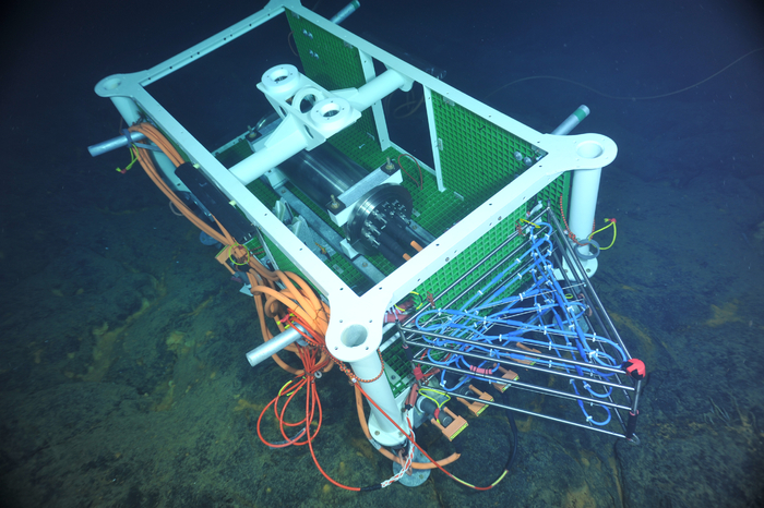
Medium-power junction box on the seafloor 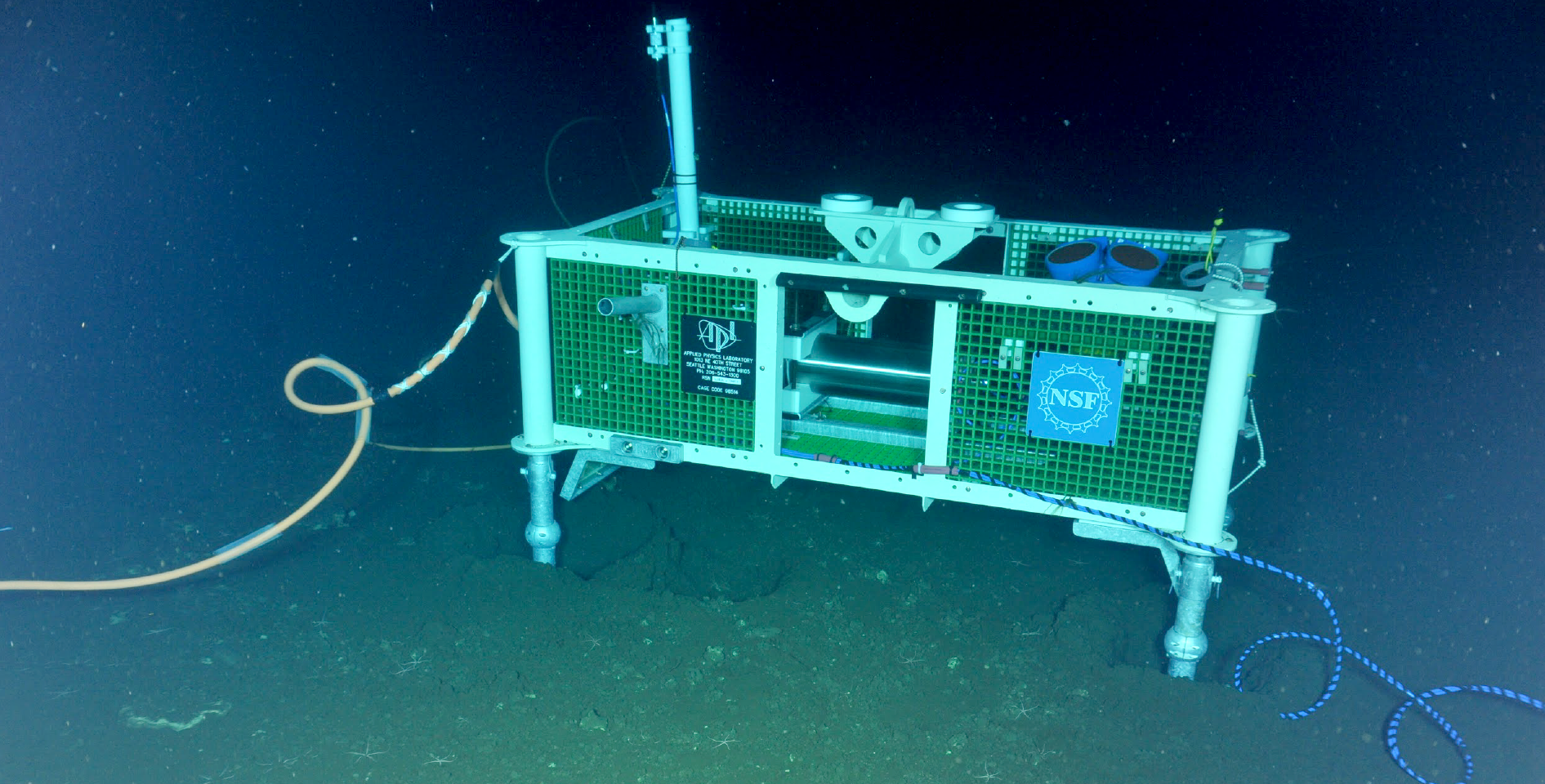
Cabled Junction Box supporting Acoustic Doppler Current Profiler, hydrophone and other instruments on the seafloor 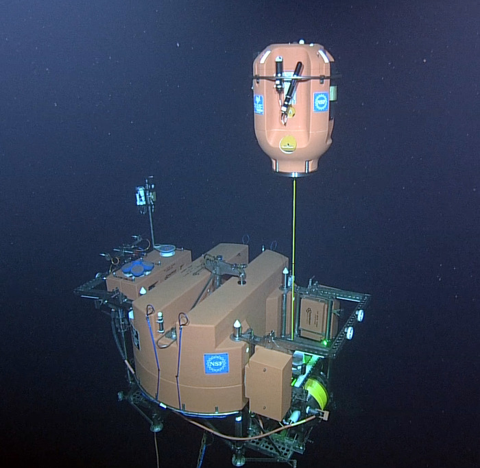
Shallow profiler mooring operating 200 m below the ocean's surface 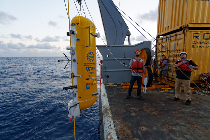
Deep profiler deployment |
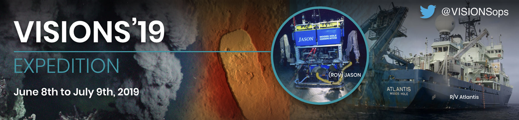
Image courtesy of The Center for Environmental Visualization (CEV), School of Oceanography, College of the Environment, University of Washington |
|
Overview |
||
|
The Regional Cabled Array (RCA) field program, 30 May to 12 July 2019, led by University of Washington, is the fifth Operations and Maintenance expedition for the cabled component of the National Science Foundation's Ocean Observatories Initiative (OOI). The cruise uses the remotely operated vehicle (ROV) Jason, onboard the R/V Atlantis operated by Woods Hole Oceanographic Institution. There are four Legs of this expedition separated by 2–3 day port calls at the NOAA Marine Operation Center in Newport, Oregon for demobilization of previous Leg gear and onloading of next Leg equipment. LEG 1: 30 May – 9 June The goal of Leg 1 is to recover and replace the Electro-Optical Mechanical (EOM) leg of the Shallow Profiler system at Axial Base. A connector on this system was damaged, preventing the connection of the cable that provides power and bandwidth to the mooring. LEG 2: 9 June – 20 June Leg 2 predominantly focuses on replacing the HD camera; turning of the two instrumented science packages on the Shallow Profiler Moorings at the Oregon Offshore site, at Slope Base and at Axial Base; as well as turning of seafloor instruments that include the associated CTD-O2 instruments, spectrophotometers, and HPIES instruments at the Axial Base and Slope Base sites. LEG 3: 20 June – 29 June Leg 3 focuses on turning of the Benthic Experiment Platforms (BEPs) and the two seafloor digital still cameras at the Oregon Shelf and Offshore sites, and turning of the Shelf zooplankton sonar, and recovery of the ONR-funded Reimers Benthic Observer Platform at the Offshore Site. LEG 4: 29 June – 12 July Leg 4 predominantly focuses on turning of the Deep Profiler instrumented McLane vehicles at the Oregon Offshore and Slope and Axial Base sites, conducting a series of verification CTDs, and turning of OOI instruments at the International District Hydrothermal Field. At the end of the program, a self calibration pressure sensor will be installed at the Central Caldera site, and the COVIS instrument recovered on Leg 2 will be reinstalled in the ASHES hydrothermal field. Also at ASHES, the Chadwick (NSF) CTD installed in 2019 will be turned and a cabled digital still camera will be installed at the Virgin vent site as part of the ONR-funded energy extraction program. |
This year's annual OOI–RCA month-long maintenance cruise involved at-sea support from over 16 APL-UW engineers from the OE and EPS departments working closely with P.I. Deb Kelley and her team from the UW School of Oceanography. 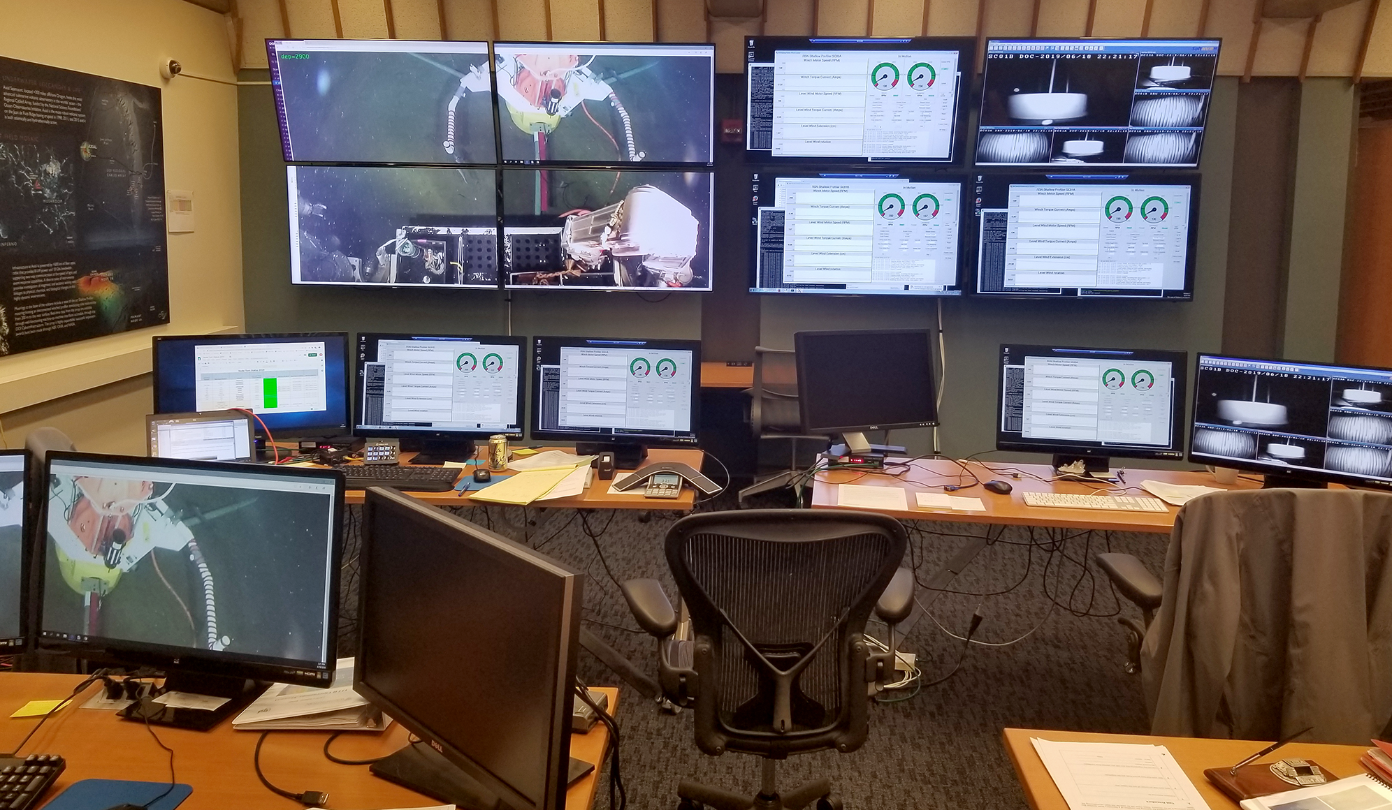
OOI–RCA Operations Center at the University of Washington, Seattle, used for coordinating infrastructure power control with ship operations during the cruise |
|
VISIONS'19 Links |
Related Links |
|

|
|
VISIONS'19 Cabled Array Gallery |
Click any image for slide show |
|||
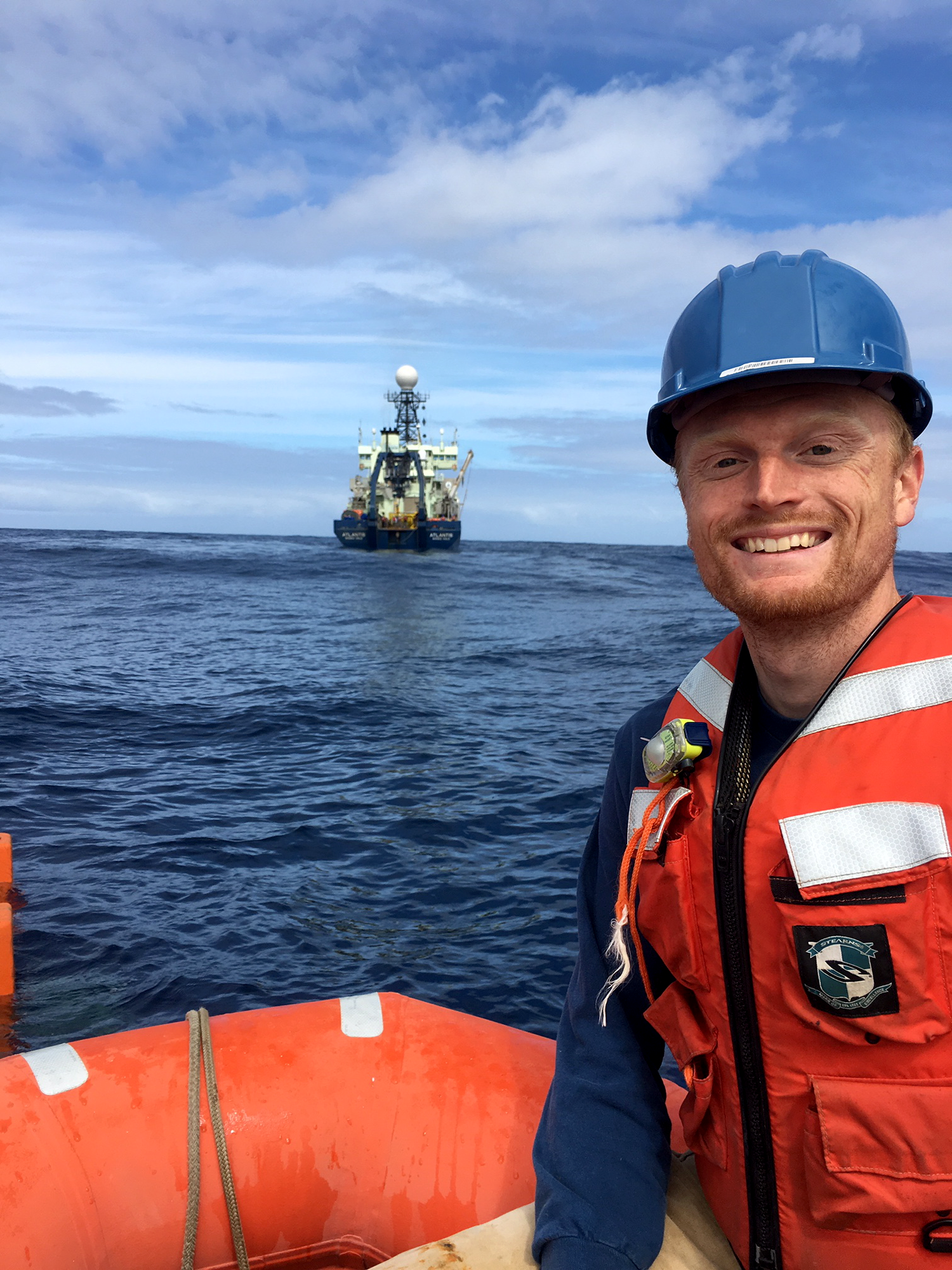
Chris Archer (OE) on a small craft to attach a line to the float for recovery |
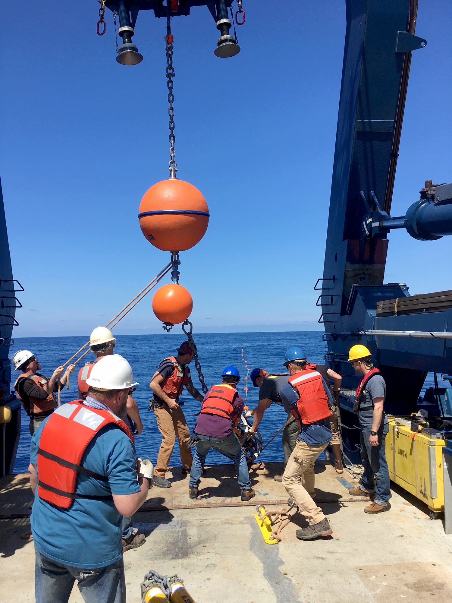
Team securing the mechanical leg float to the deck |
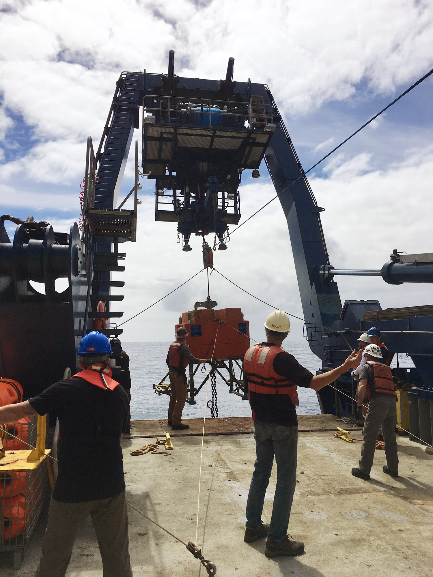
Eric Boget (OE) directing operations on the aft deck |
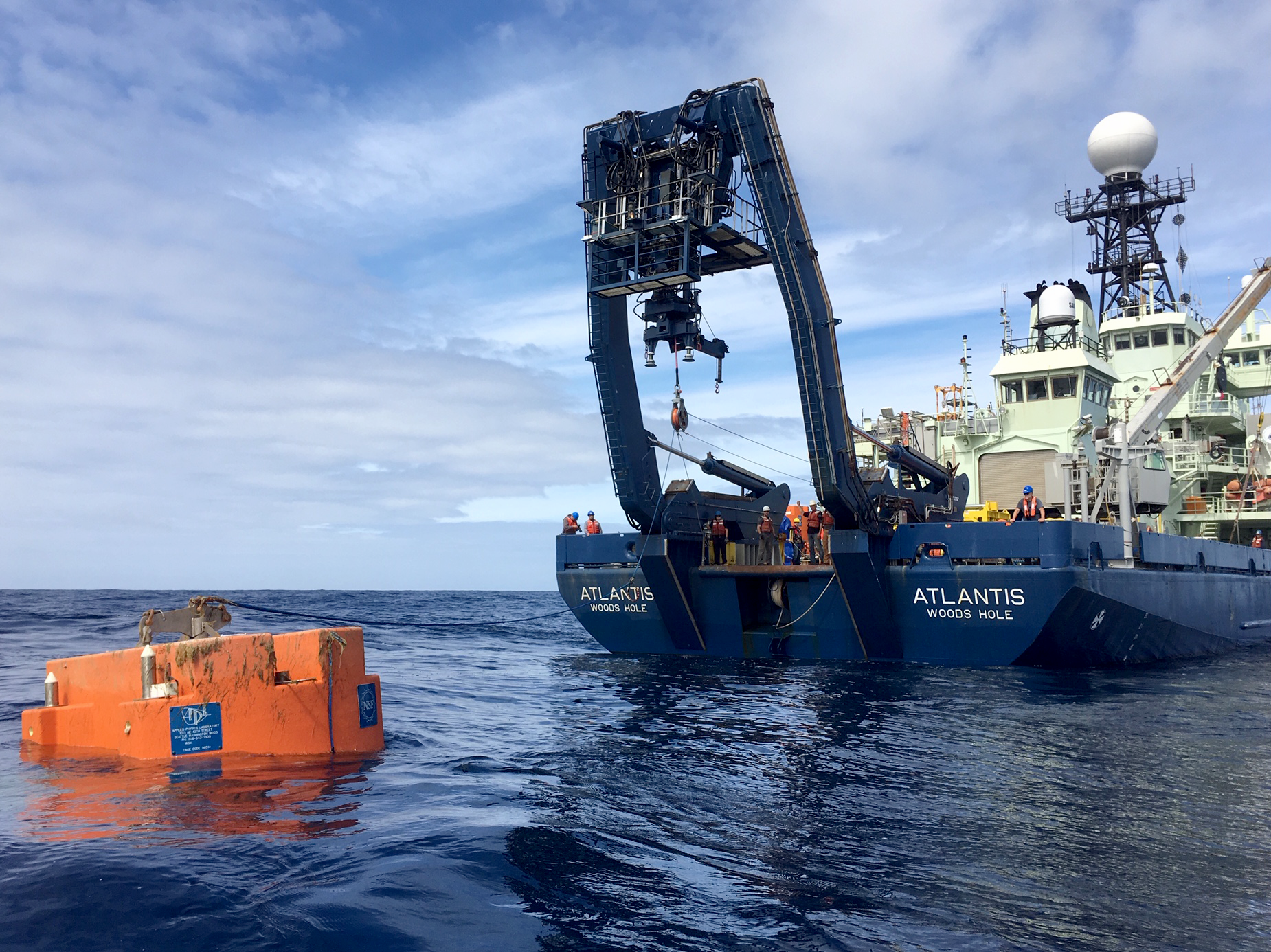
Preparing to recover the old vertical mooring float 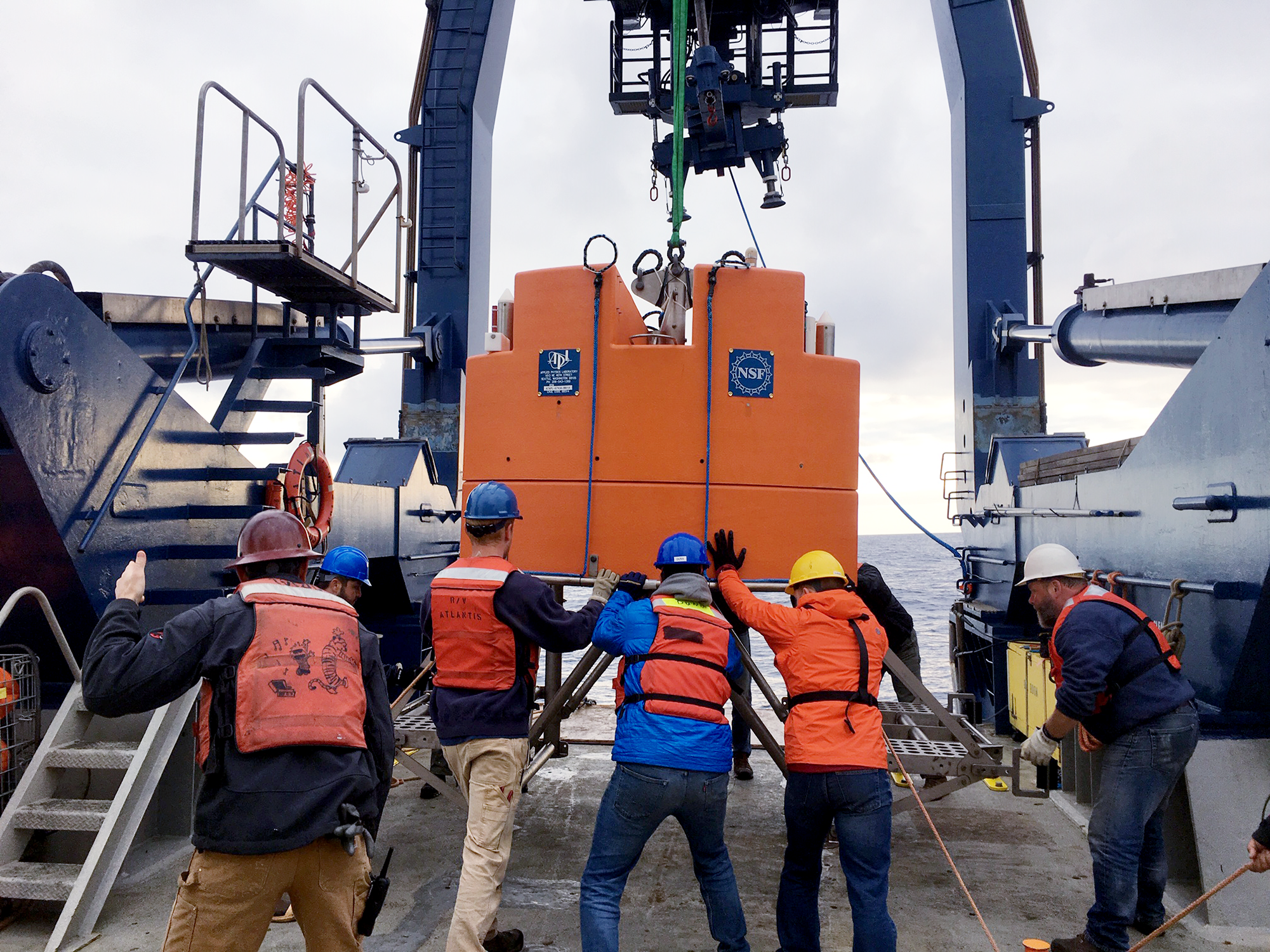
Deploying the new vertical mooring float |
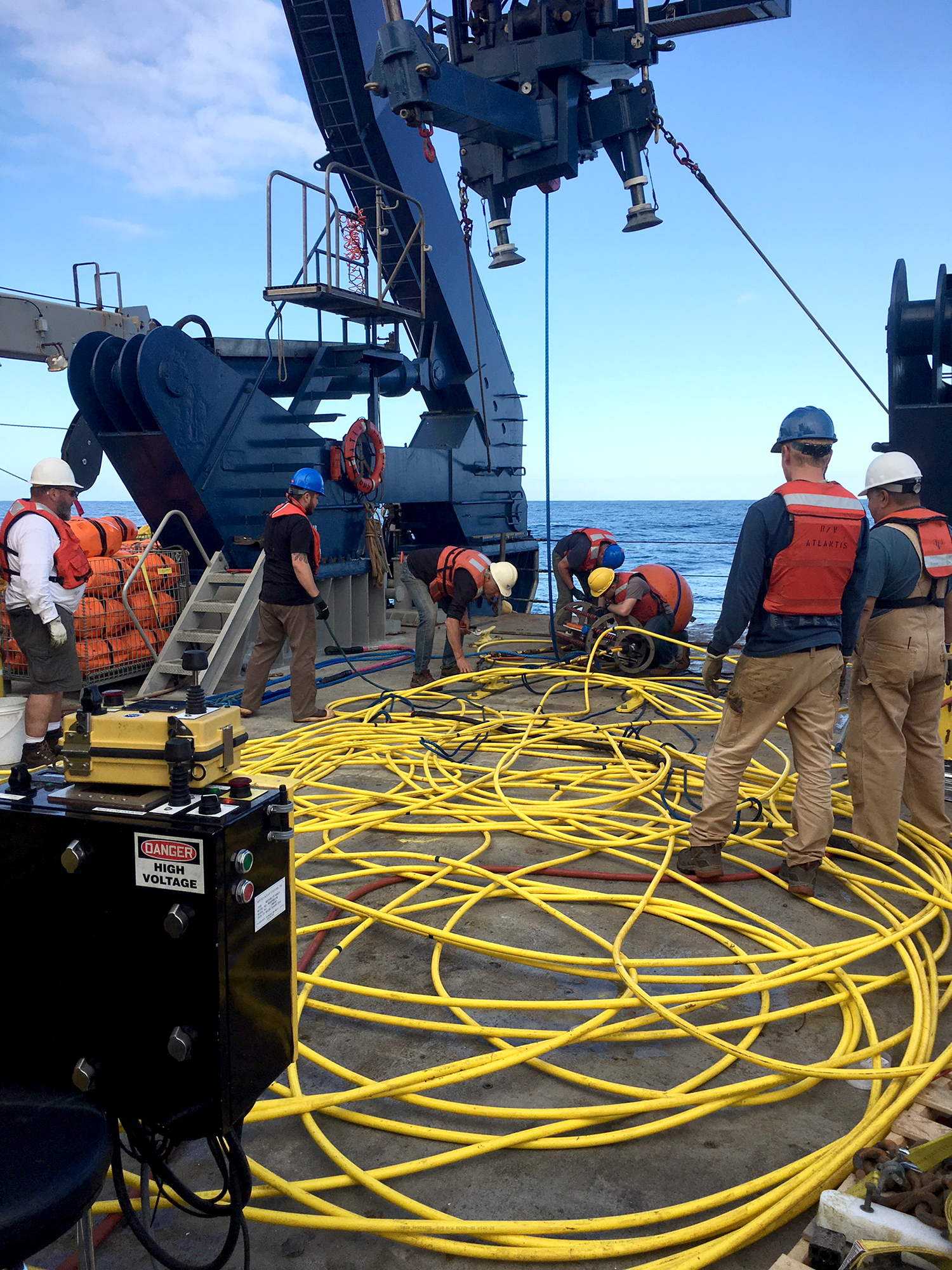
Dealing with a tangle of the recovered old mooring cable |
|
2019 RCA Team |
|
Legs 1–4: Dockside Mobilization Ops — Larry Nielson, Chris Craig Leg 1: Shipboard Ops — James Tilley, Skip Denny, Able Baca, Chris Archer, Grant Dunn, Kellan Rosburg, Eric McRae, Beau Thomason, Eric Boget, Mike Harding, Paul Aguilar, Trina Litchendorf Leg 2: Shipboard Ops — James Tilley, Paul Aguilar, Trina Litchendorf, Grant Dunn, Kellan Rosburg, Beau Thomason, Eric McRae, Ben Brand Leg 3: Shipboard Ops — James Tilley, Paul Aguilar,Trina Litchendorf, Beau Thomason, Mike Harding, Dana Manalang Leg 4: Shipboard Ops — James Tilley, Trina Litchendorf, Mike Harding, Nick Michel-Hart, Tim McGinnis, Kevin Zack, Mike Kenney, Karen Bemis, Justoni Orcejola |
|
Cabled Array Media Coverage |
|||||||||||||||||||||||||||||||||||||||||||||||||||||||||||||||||||||||||||||||||||||||||||||||||||||||||||||||||||||||||||||||||||||||||||||||||||||||||||||
|
|||||||||||||||||||||||||||||||||||||||||||||||||||||||||||||||||||||||||||||||||||||||||||||||||||||||||||||||||||||||||||||||||||||||||||||||||||||||||||||


